Whether you’re tackling ice-covered tundra in Alaska or traversing sun-scorched deserts in Arizona, hiking is the best way to discover epic natural splendor. But as every seasoned hiker knows—and every sensible novice, too—the danger is real should you wander too far off the beaten track.
And that’s why the hiking GPS is such an essential bit of adventure kit. Not only are these durable devices built to withstand the rigors of Mother Nature, but they’ll also get you back on track with pinpoint accuracy in even the most menacing conditions and terrain.
We’ve evaluated the very best hiking GPS units on the market to bring you the following list. Be sure to peruse our Things To Consider section and in-depth Buyer’s Guide before making a purchase to so you can pick out the ideal model for your needs.
Contents
- Features to Consider
- Top 8 Hiking GPS 2026
- 1. Best Hiking GPS Overall: Garmin GPSMAP 66st
- 2. Best Budget Hiking GPS: Garmin eTrex 10
- 3. Best Premium Hiking GPS: Garmin inReach Explorer+
- 4. Most Versatile Hiking GPS: Garmin Montana 680
- 5. Best Touchscreen Hiking GPS: Garmin Oregon 700
- 6. Garmin GPSMAP 64
- 7. Garmin eTrex 20x
- 8. Winterworm Outdoor Mini Handheld Portable GPS
- Hiking GPS Buyer’s Guide
- Final Thoughts
Features to Consider
Hiking GPS come in all different shapes and sizes—not to mention prices. With such a wide variety of high-tech gadgets to choose from, it’s worth working out which features are important to you before settling on a system of your own.
Weight & Size
“Every ounce in the pack is a pound on the trail,” as the old saying goes. Grabbing a lightweight and compact GPS will make your backpack less cumbersome and your hike more pleasurable, and that’s what the whole thing is about.
Durability
There’s no point purchasing a pricey hiking GPS if it’s going to stop working at the first sign of rain. We only recommend heavy-duty units capable of withstanding the elements with a minimum water-resistance rating of IPX7.
Battery Life
A hiking GPS isn’t much use once the battery runs flat, so we only recommend models with 10 hours or more. Rechargeable lithium-ion batteries tend to last longer than traditional alkaline AAs, so consider inserting these if battery life is crucial for you.
Display & Interface
You’ll need a screen of at least two square inches to see the necessary detail in your digital topographic map. Some hiking GPS systems have a cell phone-style touchscreen display (impossible to operate with gloves on), while others opt for a button navigation approach.
Versatility
Electronic compasses and barometric altimeters come standard on the best hiking GPS, while other fancy features like cameras and heart rate monitors are nice to have. Many units even come with an SOS button to alert the authorities of an emergency.
Accuracy & Speed
Add on the Russian GLONASS and European Galileo satellite systems for faster and more accurate positioning data. The Wide Area Augmentation System (WASS) works well in rugged terrain such as cragged canyons and tree-lined valleys.
Keeping these factors in mind, let’s take a look at some of the best hiking GPS systems out there.
Top 8 Hiking GPS 2026
1. Best Hiking GPS Overall: Garmin GPSMAP 66st
Editor’s Rating:
Quick Facts:
- Display Size: 3-inch screen
- Interface Type: Button operated
- Battery Life: 16 hours
- Dimensions: 6.40 x 1.40 x 2.50 inches; 0.51 lbs.
- Extra Features: 16 GB internal memory, preloaded topographical maps, satellite imagery access, geocaching functionality
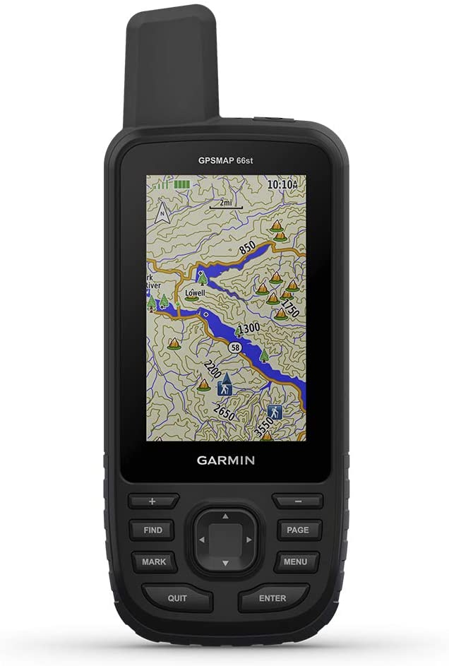
Garmin is the biggest brand in the navigation industry (you’ll notice they dominate our list), with a smorgasbord of high-quality tracking devices catering to pilots, sailors, hikers, and everyone in-between. In the hiking space, their flagship product is the powerful GPSMAP 66st, an exceptionally accurate device that draws from an array of different satellite systems to optimize precision.
While cheaper units only use American GPS networks and take ages to get a reading, the Garmin GPSMAP 66st triangulates with GPS, GLONASS, and Galileo satellites, allowing it to obtain an ultra-accurate location in seconds flat. This broad range of satellites, coupled with in-built WASS, also allows the unit to receive reception in hard-to-reach areas where others won’t.
Other perks include pre-installed and subscription-free topographical maps of Canada and the entire contiguous US, as well as an in-built digital compass and barometric altimeter. Garmin throws in access to their high-resolution bird’s eye satellite imagery as part of the deal. Bluetooth connectivity and a Geocaching Live function also add to the appeal.
The button-operated interface works better than most, but it still feels a bit clunky if you’re accustomed to touchscreen navigation. It’s also noticeably larger than some of the other options on our list, especially the more basic, budget-orientated devices.
The biggest downside to the Garmin GPSMAP 66st, however, is cost—the unit sits firmly on the upper end of the price spectrum. If you’re planning on embarking on a lengthy expedition or doing in-depth field research, the enhanced accuracy and functionality makes it worth the added expense. But for the recreational user who just wants to find their way on a weekend hike, it could be overkill.
- Uses a wide range of satellite systems for optimal accuracy
- Pre-installed topo maps of US and Canada
- Free access to Garmin satellite imagery
- Includes compass and barometer
- Slightly bulkier than other options
- Expensive for casual users
- Button interface is a bit tiresome
2. Best Budget Hiking GPS: Garmin eTrex 10
Editor’s Rating:
Quick Facts:
- Display Size: 2.2-inch monochrome screen
- Interface Type: Button operated
- Battery Life: 20 hours
- Dimensions: 1.3 x 4 x 2.1 inches; 5 ounces
- Extra Features: Paperless geocaching support
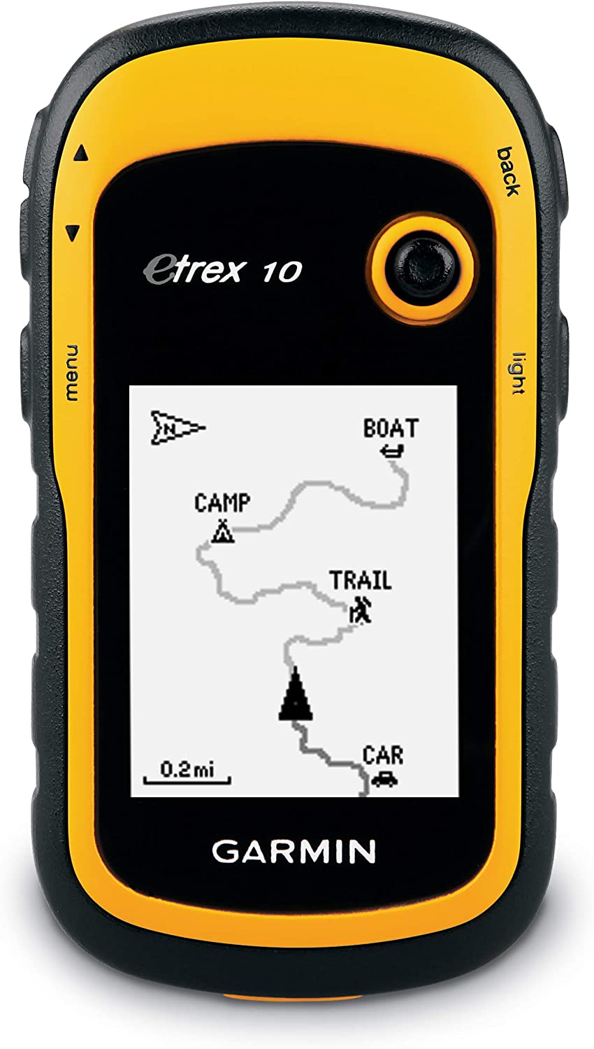
As the only GPS unit from Garmin to come in under the hundred dollar mark, the eTrex 10 is perfect for casual hikers who need reliable GPS coordinates and nothing else. At this price point, you won’t get any fancy additional features here, save for the in-built paperless geocaching function.
It does do a fine job of locating your position quickly via the GPS and GLONASS satellite networks, which is the primary purpose of the device. Two AA batteries power the unit for up to 20 hours (Garmin recommends using Polaroid brand batteries), and its IPX7 weather rating means it won’t fail you in the wet.
Although tiny, the 2-inch screen is easy enough to read, even in the sun. Its button navigation system is intuitive as well, albeit a bit primitive in this day and age.
The device connects with the Garmin Connect and BaseCamp app to cover most marked trails in America, which is just as well because there’s no option to add your own (nor an SD card for storage). You’ll also have a lower-than-average 1,000 waypoint limit—enough for casual users but lacking for hardcore explorers.
If you’re seeking something cheap and cheerful to track your coordinates reliably, the eTrex 10 fits the bill. Off-the-beaten-track adventurers exploring remote and wild areas, on the other hand, should consider investing a bit more. A pro tip: the eTrex 20x comes with an SD card to store topographical maps and satellite imagery.
- Affordable hiking GPS unit
- 2-inch screen is easy to read
- Button navigation system works well
- Uses both GPS and GLONASS satellites
- Connects to Garmin BaseCamp maps
- Minimal extra features
- Cannot add extra maps
- 1,000 waypoint limit
3. Best Premium Hiking GPS: Garmin inReach Explorer+
Editor’s Rating:
Quick Facts:
- Display Size: 2.3 inches
- Interface Type: Button operated
- Battery Life: 75 hours
- Dimensions: 1.50 x 2.70 x 6.50 inches; 0.50 lbs.
- Extra Features: Two-way satellite messaging, SOS button, track and share location
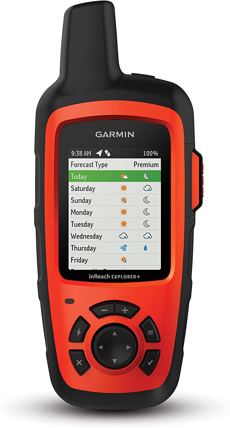
The Garmin inReach Explorer+ isn’t all that special as a hiking GPS device. Its small 2.3-inch screen is a little hard to read and its outdated button-operated interface feels like a Nokia phone from the 90s. What’s more, the GPS itself is good enough, but lacks access to the foreign GLONASS and Galileo systems. And finally, the downloadable Earthmate App gives you access to decent satellite imagery and topo maps, but these are far from the best on the market.
So why do we rank the inReach Explorer+ so highly?
Simple, the high-tech device comes with a two-way satellite messaging service and a life-saving SOS button. Should you wander off course and have no hope of making it back home on your own, you have the option of alerting emergency services to your life-threatening predicament. Rather than getting lost in the woods, a rescue team will know your exact coordinates and whisk you to safety by tea time—you’ll probably be left with a financially crippling rescue bill, but hey, that’s better than perishing, right?
Aside from the SOS button, you can preprogram messages and have a basic two-way conversation with your loved ones back home. Should your significant other be worried sick when you solo trek through remote backcountry trails, you can send them a quick text to let her know you’ve arrived safely at camp each day. And that kind of peace of mind alone is well worth the price tag for many users.
In addition to the hefty purchasing price, you’ll also need to pay a modest monthly subscription fee to take advantage of the satellite messaging service, including the SOS. More budget-conscious hikers should consider a device like the eTrex 10.
Now, given the inReach Explorer+ serves such an essential life-saving function, you might want to take it easy on draining the battery through heavy GPS use. Although the device comes with a long-lasting 70-hour rechargeable lithium-ion battery, once that runs flat, you’re truly on your own.
Some users prefer to carry a dedicated GPS in-conjunction with the Garmin inReach mini, a satellite messaging device that’s cheaper and smaller than the inReach Explorer+ but lacks a GPS mapping function.
- Hiking GPS and satellite messaging service
- Preload messages to send to loved ones on the trail
- SOS function alerts local emergency services
- Long-lasting 70-hour lithium battery
- Expensive to purchase outright
- Limited hiking GPS features
- Satellite messaging requires a monthly subscription
4. Most Versatile Hiking GPS: Garmin Montana 680
Editor’s Rating:
Quick Facts:
- Display Size: 4 inches
- Interface Type: Touchscreen
- Battery Life: 22 hours
- Dimensions: 1.40 x 2.90 x 5.70 inches; 0.64 lbs.
- Extra Features: 8 MP camera, barometric altimeter, compass, internal memory, geocaching
If you’re on the market for a feature-rich handheld hiking GPS, the Garmin Montana 680 packs all the bells and whistles into a (relatively) small package.
Crammed into the high-tech device is 4GB of internal storage, an electric compass, a barometric altimeter, 250,000 preloaded geocaches, and a user-friendly Track Manager app to monitor up to 10,000 waypoints. It’s even got an 8MP camera, which won’t compete with your flashy new iPhone but will take acceptable photos and automatically geotag them. Best of all, these techie functions are super easy to use thanks to its sizable 4-inch touchscreen display, which is a whole inch bigger than the Garmin Oregon 700.
As for the GPS function, it draws on both the US and Russian GLONASS systems to quickly and accurately ascertain your precise location. The included lithium-ion battery is good for up to 16 hours, and you can pack a couple of spare AAs to squeeze out 22 hours more. All of this leads to way more fancy functions than you’ll find on other dedicated hiking GPS units.
The downsides to this enhanced functionality are additional expense and weight. The Montana 680 costs and weighs notably more than other products, but it’s a worthy sacrifice for adventurers who want it all.
- 4GB of storage and 8MP camera
- User-friendly track manager with 10,000 waypoints
- Advanced geocaching system
- Easy to use touchscreen interface
- GPS and GLONASS tracking
- Rather expensive
- Heavier than other units
5. Best Touchscreen Hiking GPS: Garmin Oregon 700
Editor’s Rating:
Quick Facts:
- Display Size: 3 inches
- Interface Type: Touchscreen
- Battery Life: 16 hours
- Dimensions: 4.50 x 1.30 x 2.40 inches; 0.50 lbs.
- Extra Features: 3-axis compass, accelerometer, barometric altimeter, Wi-Fi/Bluetooth
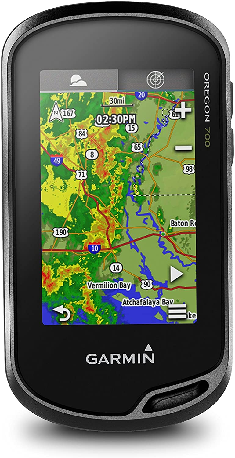
Don’t fancy flicking through an archaic button-operated interface? Then a touchscreen device is the way to go, and the Garmin Oregon is the best of the touchscreen hiking GPS systems out there. The 700 is the most cost-effective unit of the Oregon series and packs in plenty of nifty features for a reasonable mid-range price.
The sunlight-friendly three-inch touchscreen is the highlight of the show, which looks and feels much like that of a modern smartphone. As you’re already familiar with the interface, swiping and scrolling through its various options is a pleasure rather than a chore. The ability to switch between landscape and portrait mode makes life even easier.
The Oregon 700 makes it simple to set up multiple profiles and track all sorts of adventures—think hiking, biking, fishing, climbing, and more. You also get a whopping 10,000 waypoints to use with the extensive BaseCamp app, which is far more than most (and almost certainly more than you need). Other extras like a digital compass, Wi-Fi/Bluetooth connectivity and a barometric altimeter help sweeten the deal. If you’d like an 8-megapixel camera as well, then upgrade to the Oregon 750 instead.
Just because it’s a touchscreen doesn’t mean it’s delicate, either. The Oregon 700 boasts a tough IPX7 weather-resistance rating, providing adequate protection from water, earth, and snow. All touchscreens are pretty much useless when you’re donning thick gloves, however, so it’s not the best option on a cross-country ski trip or high-altitude trek.
Another downside to the touchscreen is it chews through your battery life. Even if you load the best AA NiMH batteries available, you’ll only get 16 hours of use out of the device—less if you’re always on the GPS or hiking in cold conditions. Looking for something with a longer battery life? The Garmin inReach Explorer+ offers 70 hours of charge, albeit at a higher price.
- User-friendly 3-inch touchscreen
- Easy to operate multiple profiles
- Whopping 10,000 waypoint capability
- Wi-Fi/Bluetooth connectivity
- Digital compass and barometric altimeter
- Touchscreen can’t be used with gloves
- Battery life isn’t the best
6. Garmin GPSMAP 64
Editor’s Rating:
Quick Facts:
- Display Size: 2.6 inches
- Interface Type: Button operated
- Battery Life: 16 hours
- Dimensions: 1.40 x 4.20 x 6.30 inches; 0.58 lbs.
- Extra Features: 4GB of storage
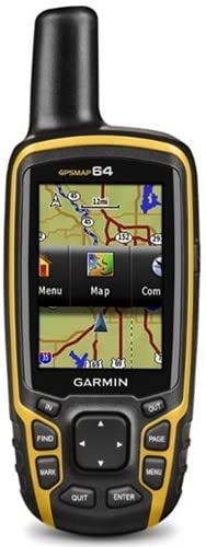
If you like the look of larger-screen, technologically advanced devices like the Garmin GPSMAP 66st but aren’t prepared to drop such a substantial sum, then the baseline model of the GPSMAP 64 is an outstanding low-cost alternative.
For a much more manageable price, you’ll get a slightly smaller display and the same high-intensity GPS and GLONASS satellite receiver, leaving you capable of finding your way virtually anywhere on earth. Note that this model doesn’t access the European Galileo network, but don’t worry because a GPS and GLONASS combo usually do the job just fine.
The big drawback is the unit doesn’t come with preloaded topographical maps, so you’ll have to acquire these separately if you need them. You also don’t get access to Garmin’s renowned satellite imagery, and you’ll have to forgo fancy features like a digital compass and altimeter.
If you want a camera and/or ANT+ sensors (heart rate monitor, temperature sensor, speed tracker), you can upgrade to the premium 64st version of the same device, which also comes with those coveted pre-installed topo maps.
Much like the GPSMAP 66st, it has a basic button-operated interface that saves on weight and works well in adverse conditions, although it does feel a little awkward to use.
For budget-orientated hikers who are happy to pay for a few more features than the ultra-low-cost eTrex 10 but don’t want to fork out for the pricey GPSMAP 66st, this model is a suitable middle ground.
- Cost-effective hiking GPS
- GPS and GLONASS triangulation
- Upgrade to include camera and ANT+ sensors
- Durable button-operated interface
- Doesn’t come with topographical maps or satellite imagery
- No compass or altimeter
- Can’t access the Galileo network
7. Garmin eTrex 20x
Editor’s Rating:
Quick Facts:
- Display Size: 2.2-inch 65K screen
- Interface Type: Button operated
- Battery Life: 25 hours
- Dimensions: 2.10 x 4.00 x 1.30 inches; 4.96 ounces
- Extra Features: 3.6 GB storage / BYO topo maps
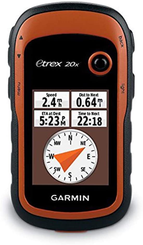
The Garmin eTrex 20x sits squarely in the center of the eTrex range, with more fancy features than the eTrex 10 but less functionality than the pricier eTrex 30x. And for users who want a budget-friendly handheld hiking GPS but can’t stand the thought of forgoing their favorite topographical maps, this model offers the perfect balance of cost and utility.
Although the screen is the same size as the eTrex 10, the 20x comes in a higher-definition 65K variety (240 x 320 pixels), letting you hone in on the finer details. You’ll also squeeze an extra five hours out of the battery (25 hours in total) should you insert a pair of high-end AA lithium batteries.
The most significant difference between the two—and the justification for spending almost twice as much—is it comes with 3.7 GB of internal memory. Now, the memory on its own isn’t all that impressive, but when you remember you can use it to store detailed topographical maps and satellite imagery, the extra financial outlay suddenly starts to make a lot of sense. Although the universal Garmin BaseCamp map pack comes pre-included in both devices, they don’t cut the mustard for intrepid hikers on a backcountry trip.
Those precious gigabytes also let you save up to 200 waypoints and routes, which pales in comparison to high-end hiking GPS devices but are still probably more than you need.
Like most Garmin gear, you’ll be able to use both the GPS and GLONASS satellite systems with WASS functionality, enabling you to pinpoint your location in record speed no matter how challenging the terrain.
All in all, the eTrex 20x is a superb low-budget alternative should you need a tad more functionality than the eTrex 10.
- 3.7 GB of internal storage
- Able to use topographical / satellite imagery maps
- Holds up to 200 waypoints and routes
- Uses both GPS and GLONASS satellites for accuracy and speed
- Double the price of the eTrex 10
8. Winterworm Outdoor Mini Handheld Portable GPS
Editor’s Rating:
Quick Facts:
- Display Size: Dot matrix 128 x 64 screen
- Interface Type: Button operated
- Battery Life: 8-12 hours (up to 60 in standby mode)
- Dimensions: 8.6 x 4.7 x 1.6 inches; 3.52 Ounces
- Extra Features: None
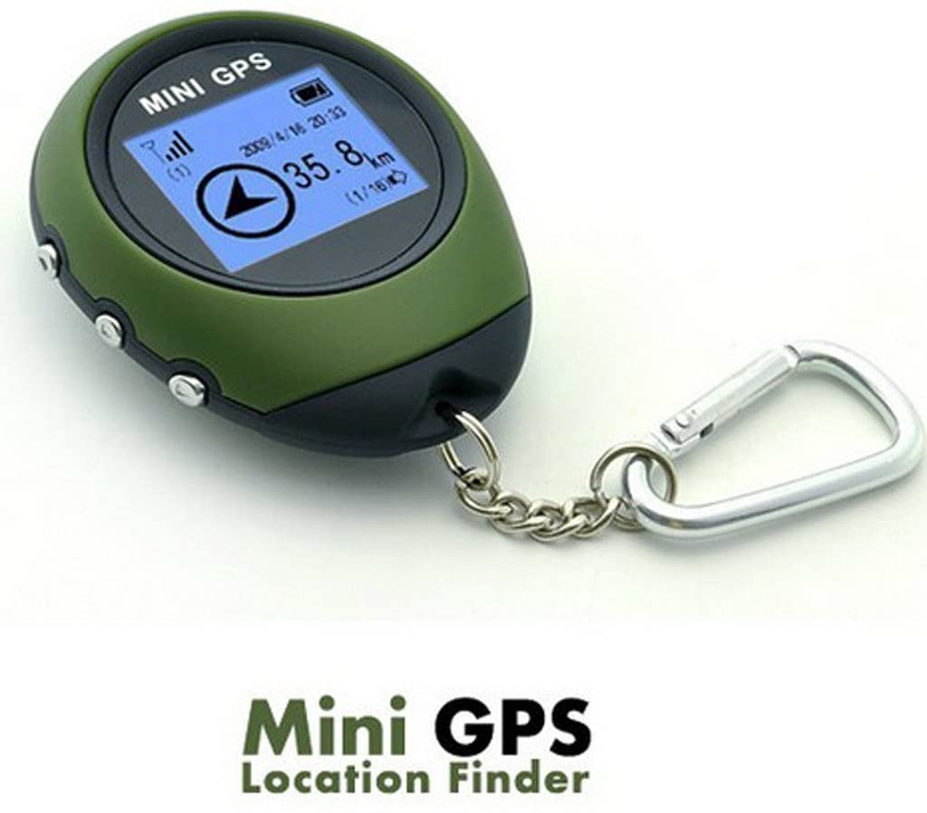
The teeny weeny Handheld Portable GPS from Winterworm is small enough to fit on your key ring, and most users do exactly that. Of course, with such a compact design and low retail price, the unit isn’t even in the same league as the dedicated Garmin devices. But if you just want a cheap and basic GPS reader to work in place of your cell phone, it gets the job done.
The first thing we need to clarify with this device is it only displays GPS coordinates—no maps and certainly no fancy bells and whistles. It’s also got a primitive dot matrix screen akin to the Tamagotchi toys of old; truth be told, that’s all you need considering the limited functionality on offer.
On the plus side, you can program in 16 waypoints, which is just enough for a basic half-day hike. It’ll also use the GPS coordinates to give you altitude estimation, but don’t expect the same accuracy as you would with a proper barometric altimeter.
We wouldn’t recommend relying on this thing for an arduous backcountry hike (use your cell phone instead if you have to), but it can be useful for cycling and strolling around urban and near-urban areas where help is never far away.
- Cheapest handheld GPS available
- Plots up to 16 waypoints
- Provides an altitude estimation
- Suitable for short trips near town
- Doesn’t include any maps
- Screen is low quality
- Minimal functionality
Hiking GPS Buyer’s Guide
High-quality hiking GPS devices don’t come cheap. And as you’ll be forking over vast sums of your hard-earned cash, it makes sense to do some in-depth research first.
In our comprehensive Hiking GPS Buyer’s Guide, we’ll cover everything you need to know about the technology. That way, you can make an informed decision when it comes time to purchase one of your own.
What Is a Hiking GPS?
The device uses Global Positioning System (GPS) technology to provide a hiker with accurate geospatial coordinates and help them navigate through unfamiliar terrain. A GPS unit receives signals from orbiting satellites to obtain the coordinates, then overlays them onto a pre-installed map.
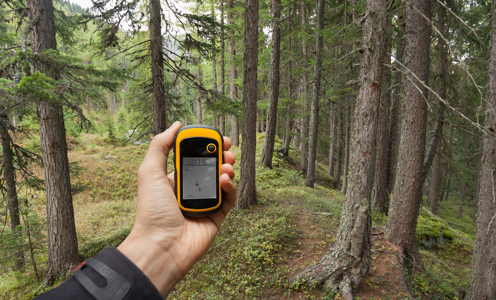
Hiking GPS devices differ from automotive GPS units in that they are specially designed for use on the trail—they’re small, durable, lightweight, weather-resistant, and have a long battery life.
Cellphone GPS Versus a Dedicated Hiking GPS
While the GPS on an ordinary cellphone will see you navigate through an easy half-day hike, experienced backcountry adventurers understand the importance of a dedicated GPS. Those venturing deep into the wilderness for several days (or weeks/months) at a time prefer not to rely on a cellphone, which tend to run flat quickly and are prone to malfunction in adverse weather.
Furthermore, while the GPS on your phone will work virtually anywhere on earth, you’ll need a steady cellphone signal to download and view the map. If you’ve done much hiking before, you already know the most spectacular trails in America lie well away from civilization and entirely out of cell range. Yes, it is possible to download maps on your cellphone for offline use—but if you forget to do so before your hike, you’ll be in a world of strife.
A reliable hiking GPS could mean the difference between life and death when you’ve taken a wrong turn in the middle of nowhere. Sensible hikers prefer not to gamble with fate and opt to get the best possible tech they can afford.
Weight & Size
The last thing you want on a grueling backcountry trail is to be lugging around a cumbersome device in addition to your food, water, and camping gear. Garmin, the world’s leading GPS manufacturer, is well aware of this and has designed each device to be as compact and lightweight as possible.
The top options on our list range from 5 to 10 ounces and some can slide easily into a pocket while others are best kept stashed in a backpack. If you want something on the lighter end of the spectrum, you’ll have to forgo fancy features like a large touchscreen display.
Whichever option you choose, the added weight will be well worth the peace of mind that comes with knowing exactly where you are when you’re way out in the wilderness.
Durability
Unlike domestic electronic devices, hiking GPS devices incorporate a tough outer shell to withstand the elements. All the options we recommend are rugged and shockproof, and each is capable of functioning in extreme temperature conditions (although the touchscreen models aren’t ideal in freezing weather).
All Garmin gear comes with a waterproof rating of at least IPX7, which means you can leave them submerged in three feet of water, mud, or snow for up to a minute—try doing that with your cellphone!
Battery Life
We only recommend products with a respectable battery life of 10 hours or more under normal working conditions. Any less than that and the unit will run flat too quickly, which could spell disaster when you’re lost in the boonies with no idea where to go.
Some hiking GPS use a heavy-duty lithium-iron rechargeable battery that will last you for many years to come. Others allow you to throw in a few back-up alkaline batteries in an emergency—not a bad idea as you never know when you’ll need them. If you don’t have this option, bring a lightweight, solar-powered back-up battery bank with you for peace of mind.
Display
The displays on our recommended hiking GPS range from 2.4 to 4 inches (diagonally)—the bigger models are more enjoyable to use but bulkier.
The perfect option depends on your personal preference, so think about whether you want a beefy cell phone-sized display, or you could make do with squinting at a tiny screen to save on weight.
Interface
The interface of a hiking GPS will be either touchscreen or button operated. Though they’re not quite as responsive as a contemporary cellphone, touchscreen GPS displays allow you to glide through the settings with ease. You can take photos, trace coordinates, and plot your next route in a familiar and straightforward fashion.
Although this interface type is a pleasure to use, it blasts through the battery and requires a bigger screen, which adds to the weight and size. Touchscreens are also impossible to use with thick gloves on and may freeze up in subzero temperatures—you might want to give them a miss if you do backcountry trekking in Alaska.
Although button-operated GPS systems feel cumbersome and clunky to use, they’re also smaller and more portable. The interface is significantly more durable as well; you won’t have any issues using it rain, hail, or shine—or with big thick gloves on.
The ideal option boils down to your personal preference: do you want a flashy, newfangled touchscreen, or an old school and uber-reliable button-operated device?
Versatility
Other than pinpoint your location, there’s a whole host of nifty things an advanced hiking GPS unit can do. As you’d expect, though, the more techie features you have, the higher the price you’ll pay—and the device will be bigger and bulkier too.
Waypoints
The hiking GPS units we recommend allow the user to map hundreds (some up to 10,000) of waypoints at a time on a computer and follow them on the trail. Unless you’re a biologist doing extensive field research, it’s unlikely you’ll need that many at any given time.
Compasses
Differential compasses are included in most basic GPS, including the one that comes standard in your cellphone. For these to work, you need to be moving in a single direction for a certain amount of time.
A more advanced system is the electronic compass, which displays an accurate direction when held firmly in place. This technology makes it much quicker and easier to work out where to go and can become incredibly useful in situations such as adverse weather where you can’t see a thing.
Photos & Camera
Some hiking GPS units will let you record your journey, taking photos and pinning them to waypoints you pass along the route. The feature is especially useful when attempting to backtrack through hard-to-navigate terrain, as well as for expeditions where detailed documentation is essential. While nice to have, these sorts of features add to both the size of the unit and the price.
Geocaching
The contemporary hobby of geocaching is a hit among hikers as it adds an element of intrigue to every wilderness jaunt. In essence, the game involves searching for a hidden treasure in a remote location, sometimes by solving a series of cryptic clues. Some hiking GPS units are designed to be compatible with the popular contemporary pastime. And because hiking GPS units have a built-in text display, there’s no need to use physical paper anymore.
Barometric Altimeter
This state-of-the-art feature comes included in the most advanced hiking GPS units and is a hit among keen climbers and high-altitude trekkers who need to know how high they stand. The barometric altimeter works by using a tiny sensor to monitor air pressure, which allows it to calculate altitude.
Another handy plus is barometric altimeters let you keep close tabs on upcoming weather patterns, potentially providing an early warning in the event of a treacherous storm. A more primitive altitude estimation tool found in cheaper GPS units compares your coordinates to a topographical map. As you’d expect, this method isn’t anywhere near as accurate.
Bluetooth Connectivity
Bluetooth is everywhere these days, including your hiking GPS. Although its use is limited in a GPS, there are a few handy things the wireless technology standard can achieve.
The most common is sharing waypoints between groups. If you’ve just plotted out an epic new route, you can pass it onto other hikers via Bluetooth so they can follow in your footsteps, literally.
Satellite Messaging
Although not a typical feature in a hiking GPS, some units, such as the Garmin inReach Explorer+, also serve as a satellite messaging service. Having the ability to send an SOS message could save your life someday, as it allows you to alert the authorities of an emergency when there’s no cellphone signal for miles around.
Satellite messengers are, on the whole, an entirely different product that comes with a premium price tag. You’ll need to pay a monthly subscription fee just to have the messaging option available, regardless of whether you ever use it or not.
Hiking GPS Accuracy: GPS / GLONASS / GALILEO / WASS
A standard hiking GPS will communicate with 33 US Department of Defense operated satellites to pinpoint your position to a degree of accuracy of 30 feet or less. Although not perfect, that’s typically enough to work out where you are and veer back on the right track.
High-end hiking GPS units also use the Russian satellite system, called GLONASS, and the European system, known as Galileo. When a hiking GPS uses two or three satellite systems simultaneously, it will determine your position more quickly and accurately.
Most of the time, only having access to the US-run GPS satellites is enough to obtain an acceptable reading, getting within about 30 feet of accuracy. But when you’re trekking through rugged terrain and your view to the sky is compromised, having additional access to both GLONASS and Galileo (or one or the other) can make a big difference.
All the models we review also include a Wide Area Augmentation System (WAAS), which further narrows down the accuracy to just nine feet. Sure, the difference between 9 and 30 feet is negligible when you’re lost in a vast wilderness, but it’s nice to have nonetheless.
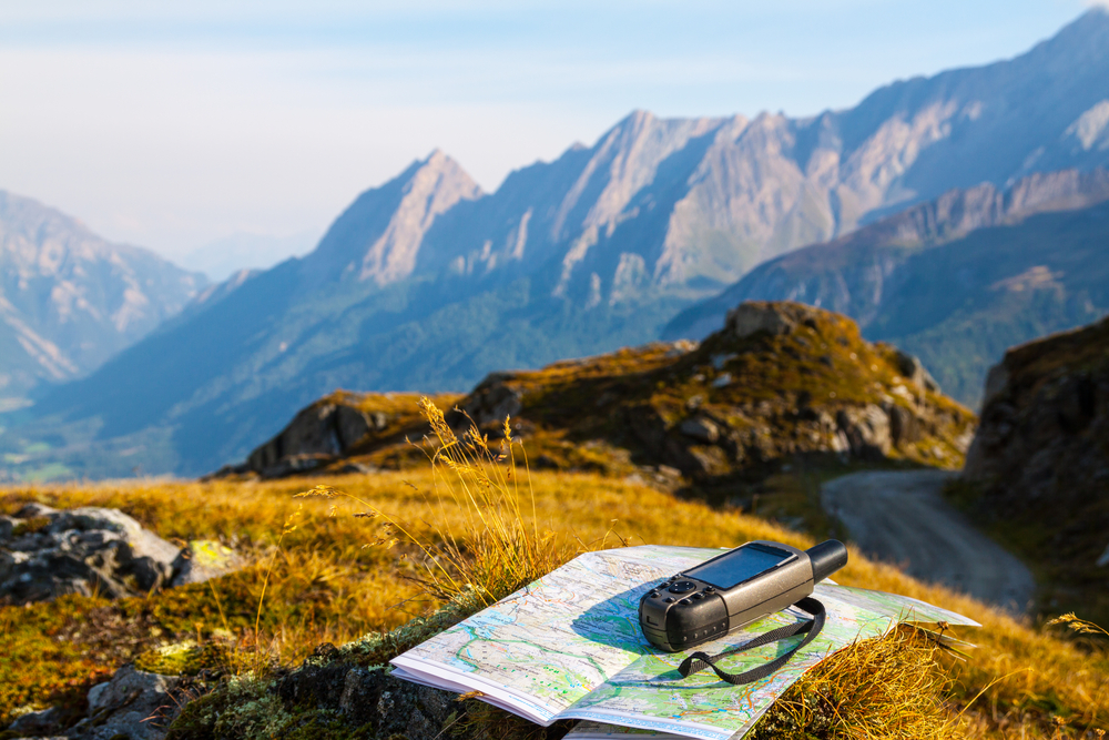
Bad weather, such as heavy rain or snow, won’t typically affect the accuracy of your GPS. A physical obstruction will, however, which is why your GPS stops working indoors or underground (including tunnels). While hiking out in nature, rugged terrain like towering mountains and deep ravines can interfere with the ability of your GPS to establish a line of sight with passing satellites, so it may struggle to ascertain your location promptly (GLONASS and Galileo can help here).
FAQ
If you’ve read through our in-depth Hiking GPS Buyer’s Guide and still have a few questions, check out the FAQ below.
What Is the Best Gps Unit to Buy for Hiking?
The best hiking GPS depends on your budget and hiking style. While we recommend the top premium, budget, and overall hiking GPS in our guide, you may find one of our other recommendations to be more suitable for you.
Take a closer look through our Things To Consider and Buyer’s Guide sections to help work out which device best aligns with your needs.
What’s the Best GPS Device for Geocaching?
The Garmin GPSMAP 66st has superb geocaching functionality and stacks of other cool features, although it is rather expensive. If you’d like to try geocaching on the cheap, try the Garmin eTrex 10 instead.
What’s the Most Accurate Hiking GPS?
The most accurate GPS unit on the market is the Garmin GPSMAP 66st, which triangulates from US-based GPS satellites as well as the Russian GLONASS and European Galileo systems. It also connects to the Wide Area Augmentation System (WASS) to further narrow down your search.
As a result, the Garmin GPSMAP 66st device can obtain GPS coordinates more accurately and quickly than any other model on the market.
Can I Use My Phone GPS for Hiking?
While you can use a phone GPS for hiking, it’s far from ideal for three key reasons:
- A phone will quickly malfunction in muddy, wet, or snowy conditions.
- You’ll need a stable 4G signal (or remember to download a suitable offline map beforehand).
- Your phone battery will run flat quickly, so it’s not suitable for multi-day hikes.
What’s the Easiest-to-Use Hiking GPS?
We rate the Garmin Montana 680 as the most user-friendly hiking GPS. The device has a sizeable four-inch touchscreen display that’s more responsive than most, and its user interface is simple enough for the technologically illiterate to understand.
How Accurate Are Hiking Gps Computers?
The accuracy of a hiking GPS depends on the satellite system(s) it has access too. A standard GPS unit will have an accuracy of 30-50 feet at worst. High-end devices, such as the Garmin GPSMAP 66st, can access the US-based GPS, Russian-based GLONASS, and European-based Galileo satellites, as well as the Wide Area Augmentation System (WASS). Triangulating a signal from multiple sources allows for an accuracy of approximately 9 feet.
Does a Hiking GPS Work Without Phone Signal?
Yes. A GPS device communicates directly with orbiting satellites; therefore, it doesn’t need a phone signal or Wi-Fi to work. However, unless you’ve downloaded a suitable offline map beforehand, you won’t be able to use it for navigation. GPS coordinates aren’t much use without the associated map.
Is a Handheld Gps Better Than a Phone?
Absolutely. The handheld GPS units we recommend in this guide outperform your cellphone in terms of accuracy and reliability. They’re also more durable and have better battery life.
Why Do You Mostly Recommend Garmin Products?
Garmin is the global leader in navigation, not just for hiking but for aviation, sports, and maritime transport as well. As the company owns much of the relevant infrastructure to create a powerful hiking GPS unit, they’re in a strong position to dominate the market. They produce more models than other manufacturers and have stronger software, maps, and support as well.
Final Thoughts
If you’ve made it through to the end of our epic hiking GPS guide, you’re now well-versed in the technology and features that support this essential safety device.
Before embarking on your next thrilling outdoor adventure, take the plunge and peruse our recommendations to pick out the perfect product for you. A suitable hiking GPS device will make your next wilderness foray safer and more enjoyable than ever before—you’ll no longer need to stress about getting lost. We look forward to seeing you out on the trail with a snazzy new GPS in hand!
